Biscayne Bay, Florida
Biscayne Bay, Florida
Seagrass seascape state, stability, and function in relation to water quality in Biscayne Bay
Overview:
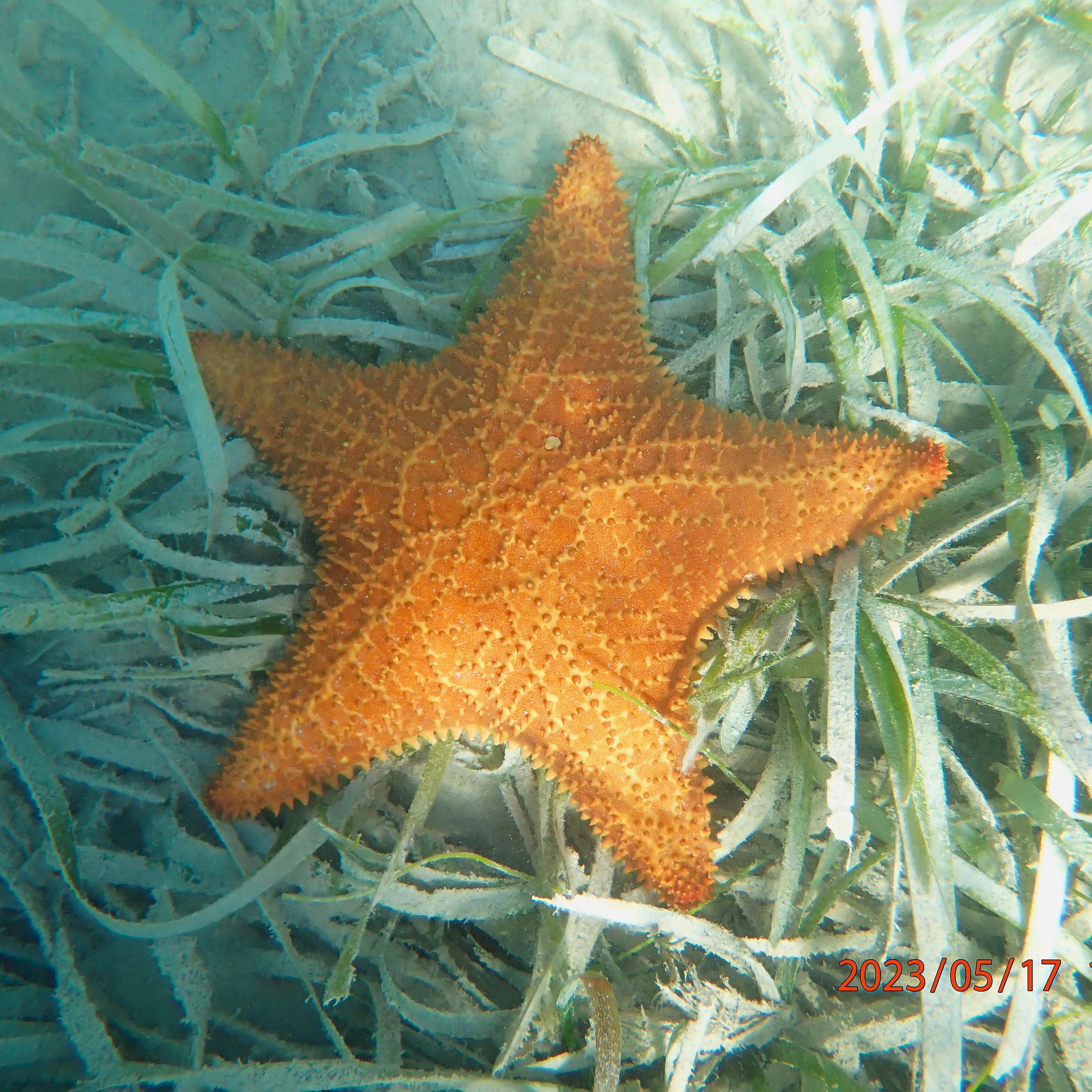
Biscayne Bay submerged aquatic vegetation (SAV) communities are composed mainly of seagrass species and provide many valuable ecosystem functions and services. These seagrass communities are dynamic, displaying spatiotemporal variation in the amount and configuration of seagrass seascapes, but have been declining over time. In Biscayne Bay, studies have shown that freshwater inflows, and proximity to freshwater canals, have influenced the composition and configuration of seagrass seascapes, with fragmented seagrass seascapes occurring closer to freshwater canals. Also, water quality is increasingly becoming an issue in Biscayne Bay, leading to problems for seagrass ecosystems and their biota. However, a comprehensive study has not been conducted to determine how water quality influences the state, stability, and function of seagrass seascapes across Biscayne Bay.
Proper management of seagrass ecosystems requires more information on the causes and impacts of shifts in seascape state. Seascape state, here defined as the condition of the ecosystem, is determined by ecosystem processes that occur at multiple scales. Therefore, a multivariate approach that incorporates metrics from multiple scales (e.g. patch and seascape level) is needed to provide a better representation of the state of the seascape. This is especially true because seagrass ecosystem functions and services can differ depending on the composition and configuration of seagrass seascapes at multiple scales.
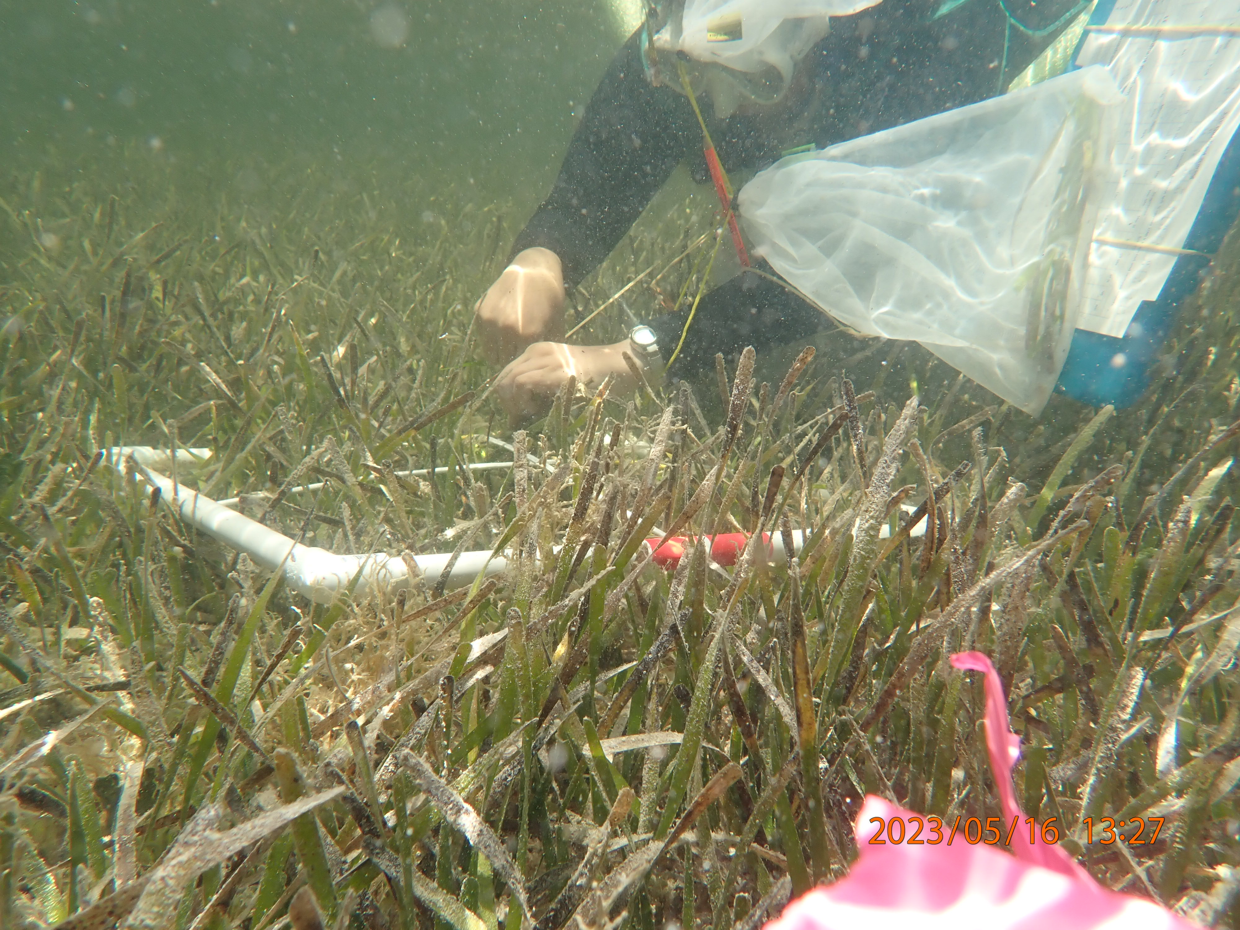
Another important aspect for management is the stability of seascape state. Stability is the ability of the ecosystem to respond and absorb environmental change and involves the temporal variability in the ecosystem, as well as the resilience, recovery, and resistance to disturbance, requiring a multidimensional approach to quantify stability. While monitoring and management actions often focus on the structure of seagrass seascapes (e.g., size, species composition, and location), the associated functions, such as trophic support for the food web, are not as prominently emphasized. Recent studies have demonstrated that changes in structure can lead to changes in function over time, and that similar habitat structure does not always lead to the same functions. Thus, managers would benefit from a method that directly relates seagrass seascape structure to ecosystem function.
Objectives:
1. Quantify the spatiotemporal patterns of the state and stability of seagrass seascapes
2. Quantify the relationship between seagrass seascape state and stability and seagrass function
3. Determine the relationship between water quality and seagrass seascape state, stability, and function.
Methods:
Seascape Characterization (Spearheaded by Marianna Coppola)
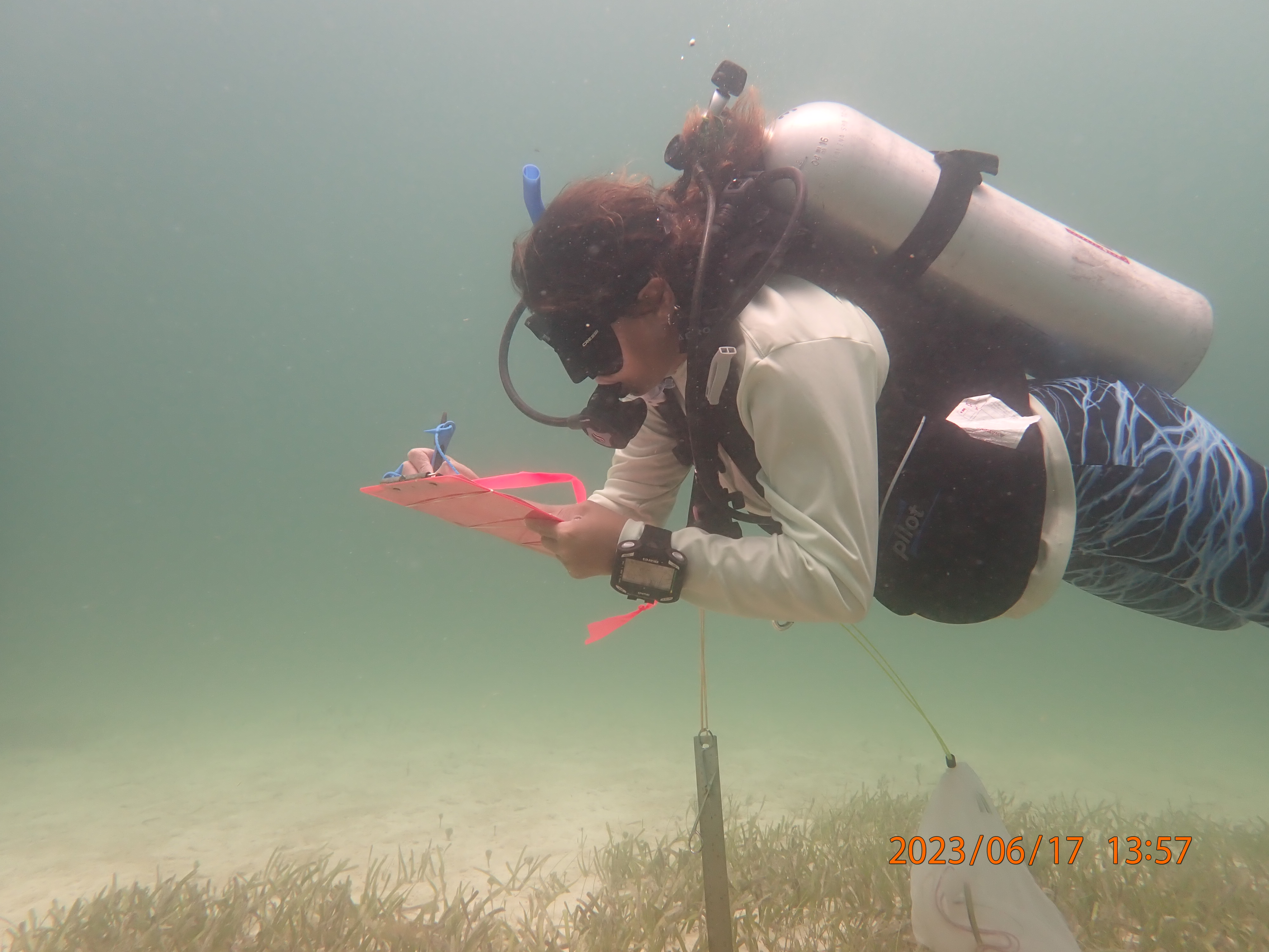
Accurate habitat maps underpin the FISHSCAPE project, as seascape configuration drives key ecological processes such as fish foraging patterns and prey abundance. The Seascape Ecology lab has been contributing to the project creating accurate benthic habitat maps through a remote sensing approach. These maps are crucial to delineate seagrass patches and quantify seascape characteristics across the Florida Keys National Marine Sanctuary. To address ecological problems at multiple spatiotemporal scales, we aim to integrate in situ data with multispectral images acquired by unmanned aerial vehicles (i.e. drones) and medium- to coarse-resolution satellites. This proposed multi-scale mapping approach will enable us to quantify the relationships between organisms and their habitats by assessing functional connectivity. It will do so by identifying seagrass habitat characteristics surrounding reefs across various seascape scales commonly used by foraging fishes within the FKNMS.
Ecosystem Function (Spearheaded by Gina Badlowski)
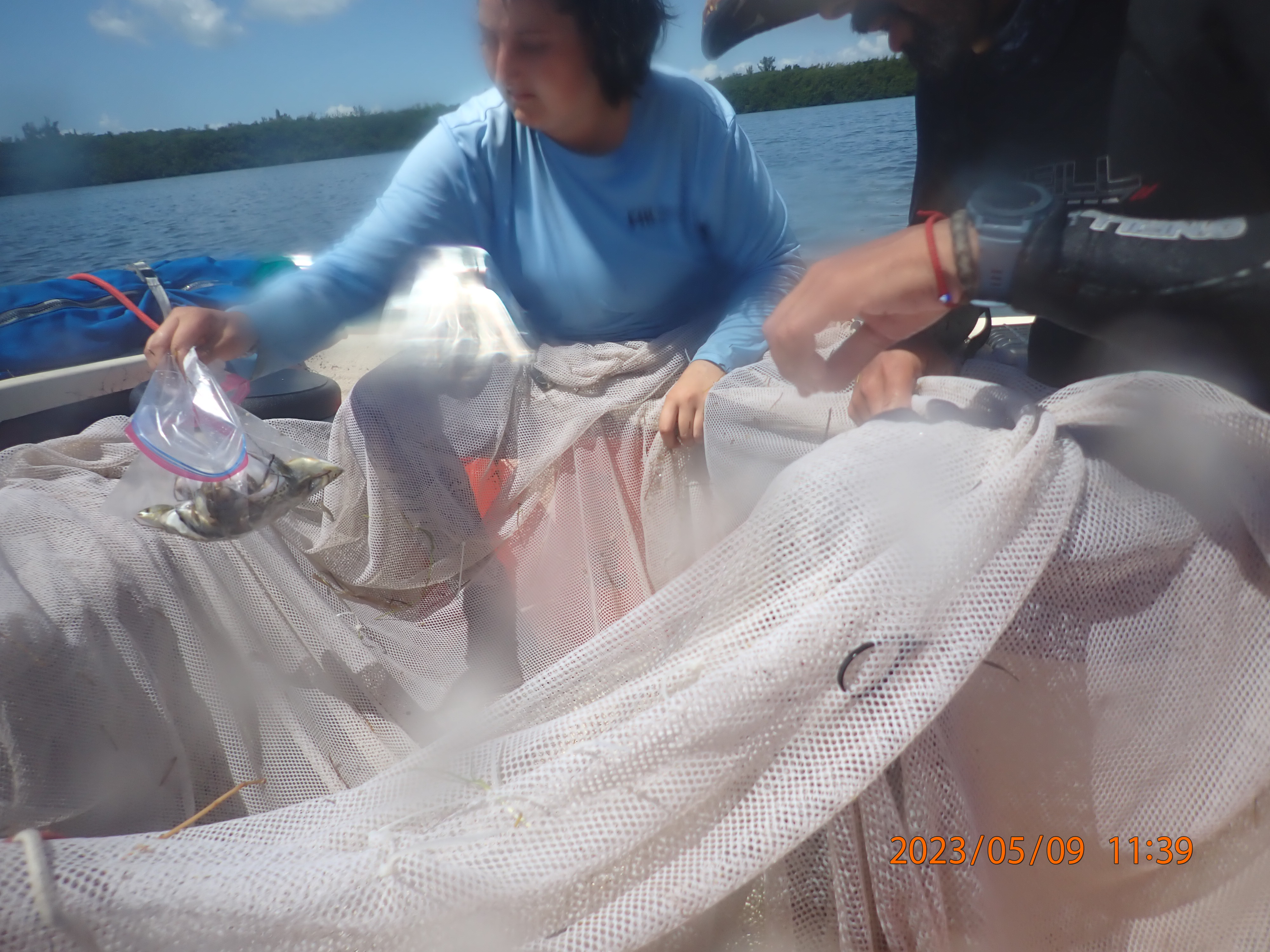
Ecosystem functions can vary depending on habitat structure (e.g., species composition, canopy height, size, and location). Recent studies have shown that even when habitat structures appear similar, they do not always result in similar ecosystem functions, such as supporting food webs. While monitoring and management actions often focus on the structural aspects of habitats, we propose adopting management strategies incorporating a more comprehensive understanding of ecosystem functions. To accomplish this, we suggest using E-scape maps [spatially explicit production maps, identifying areas where food resources are abundant or scarce by calculating a Habitat Resource Index (HRI)], which correlate seagrass habitat structure with food web dynamics and energy flow. These E-scapes integrate seagrass seascape characterization (see above), prey availability, and food web models derived from stable isotope analysis. We collect basal resources (e.g., seagrass, macroalgae), lower trophic level prey species (e.g., gastropods, small fishes), and fin clip samples from seined fish. These samples are analyzed for carbon, nitrogen, and sulfur stable isotopes to determine the contribution of seagrass meadow-derived food sources to different trophic levels.
This project is funded by the following sponsor:
